Highway 50: Carroll Station
Carroll Station is located in Lander County along Nevada State Route 722 near the Churchill County line. The town site of Carroll was a mining boom town, purportedly named after the miner Charlie Carroll who made the original discovery at the site in 1911. The stage road over Carroll Summit passed nearby. Though the town was short-lived, it survives in that it has given its name to Carroll Summit and Carroll Station—a Texaco Service Station that was a respite stop for Highway 50 motorists.
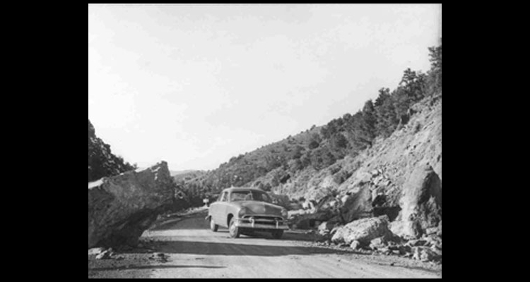
In 1924, a new road was constructed over Carroll Summit between Austin and Eastgate that rerouted the Lincoln Highway away from the old Overland Trail through New Pass. The new route saved fifteen miles. Carroll Station was built during this construction phase for the benefit of the highway workers. Ironically, a hard-surface highway improvement project in 1966 relocated the road to its original route by Cold Springs.
In its heyday, the station featured a café and a bar, as well as gasoline pumps and Texaco products. The owners, in the mid 1950s, were Fred and Rosie Stephens—a husband and wife team that seemed to have been considered ultimate Highway 50 "characters."
Today the old building is deserted and falling into ruin. It could be easily missed by the casual tourist, nestled among the trees and brush on the south side of the canyon. The stretch of road over Carroll Summit is one of the best preserved segments of the Lincoln Highway in the state.
Article Locations
Related Articles
None at this time.
Further Reading
None at this time.

